We use the Map Room to evaluate highest and best use, infrastructure timing, entitlement feasibility, buyer demand, and whether the property should be marketed now, held, planned, or positioned for a future cycle.
We track municipal activity, competing supply, public financing, and infrastructure movement to identify sites that may fit upcoming acquisition criteria.
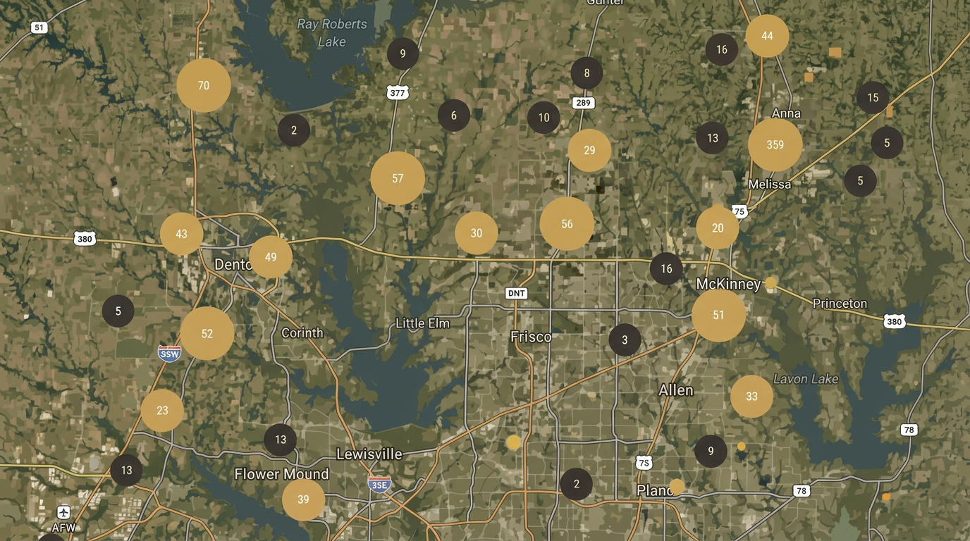
We use the Map Room to evaluate where development momentum is forming before it fully shows up in pricing, and listings.
WHAT WE TRACK
DEVELOPMENT SIGNALS AT THE SOURCE
Planning & Zoning Activity
Zoning requests and case filings. Future land use amendments. Density adjustments and overlays. City staff recommendations. P&Z and City Council decisions
Platting & Entitlements
Preliminary plats. Final plats. Concept plans and site plans. Subdivision activity. Entitlement timelines.
Public Financing
MUD district formations. PID financing approvals. TIRZ participation. Development agreements. Infrastructure reimbursement activity.
Infrastructure & Access
Road expansions and new corridors. Utility extensions. Access and interchange improvements. Corridor growth sequencing.
Product Type Movement
Single-family communities. Build-to-rent activity. Multifamily submittals. Retail and mixed-use activity. Industrial and employment uses.
Buyer & Developer Positioning
Builder movement and lot absorption. Developer submittals and activity. Competing supply pipeline. Submarket timing signals. Potential acquisition targets
Closed sales and listings are lagging indicators. Planning activity is where the market starts moving first.
By tracking the decisions that come before development, we can better understand where demand is forming, where infrastructure is headed, and where landowners may have an opportunity to position ahead of the broader market.